Photogrammetry
The photogrammetric survey allows the acquisition of metric data (such as shape, size and position) of an object, a structure or a portion of territory through the analysis of a pair of stereometric frames.
Digital cameras are therefore used to acquire the various images and total stations that detect targets positioned in correspondence with the area being surveyed in order to metrically scale the survey model.
Photogrammetry is a technique widely used in cartography, topography, geology and geomorphology, architecture and archaeology.
This technique, originally created for the survey of architectural works and structures, is currently used extensively for the topographic survey of the territory and its modifications thanks to its cost-effectiveness, precision and reliability.
The main applications to which GEO Logica is dedicated are Architectural Photogrammetry and Terrestrial Photogrammetry, analyzing both existing data (satellite data and aerophotogrammetric data) and data detected directly, also with the use of UAVs.

Architectural Photogrammetry
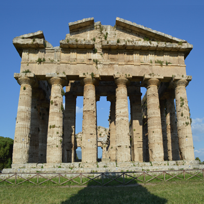
Architectural photogrammetry is applied to surveying the shape, size and position of architectural elements or structures.
It is based on the analysis of stereometric frames and generally the distance between the sensor and the work to be observed is a maximum of a few tens of metres.
To the photogrammetric data, data collected with laser scanners or total stations are usually added for the metric scaling of the survey model; archaeological objects and finds are also subjected to photogrammetric analysis.
These analyses, thanks to new hardware and software capabilities, allow the return of two-dimensional and three-dimensional digital models of the structures and objects detected in order to make their use and usability easier.

Terrestrial photogrammetry
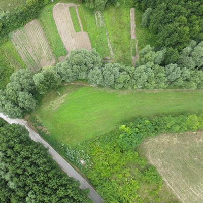
Territorial metric data are generally acquired with the photogrammetric technique in combination with operational platforms that involve the use of aircraft (aerial photogrammetry), satellites (satellite photogrammetry) or, lately, drones (photogrammetry from UAV or SAPR).
Aerial and satellite photogrammetry is used for surveys of the territory and its resources both for topographic and cartographic purposes and for monitoring and management.
UAV photogrammetry is suitable for the survey of not excessively large areas (and for agriculture, monitoring of industrial plants, monitoring of hydrogeological instability, etc.) and can also be applied to architectural photogrammetry for the survey of buildings and infrastructures.
