Geology
Geological, geomorphological and hydrogeological studies and surveys are a significant part of the activities that GEO Logica uses to understand environment evolution and to underpin a sustainable land use
Geology in recent decades is becoming an increasingly important branch of science and a fundamental mean to analyze land dynamics and relationship with human activities. Our technicians have decennial experience in geological, geomorphological and hydrogeological surveys, in the use of collected data to edit documents and maps to support designing activities, urban planning, risk analysis and hydrogeological hazards.

Geological Survey
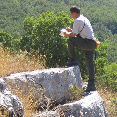
The geological and geological-structural survey of the countryside is a fundamental support for the cognitive and geognostic activities on the territory that Geo Logica carries out on behalf of both public and private clients.
Geological surveying can be said to be the activity that characterizes and is exclusive to the figure of the geologist; this activity, often associated with the analysis of aerial photographic or remote sensing data, is the basis for the preparation of geological and geological-technical cartography necessary for the drafting of urban planning tools and design.

Hydrogeology
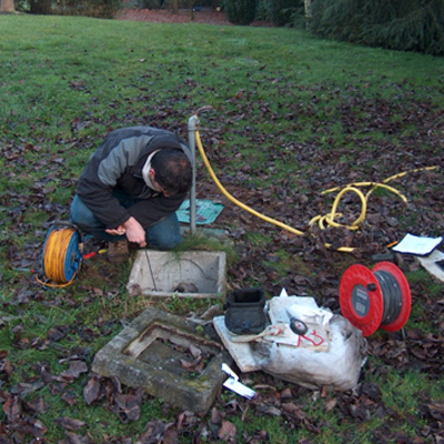
The study of the interactions between groundwater, surface water, water chemistry, soil humidity and climate broadly represents the multiplicity of activities relating to hydrogeology.
Geo Logica snc intervenes, thanks to the professionalism and equipment in its possession, with the following activities:
- Search for water resources
- Flow tests on wells and river banks
- Permeability tests
- Chemical-physical studies of surface and groundwater

Geomorphology
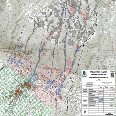
Geomorphological analyzes and geomorphological surveys are the tools that Geo Logic technicians use for investigations into the forms that constitute the territory and for the study of its evolution.
With geomorphology, therefore, we study the correlations between the morphology of the terrain, its lithological characteristics and the agents that have shaped it, and continue to shape it, in order to be able to evaluate its dynamics and hypothesize its changes.
The documentation resulting from the investigation activities is basically made up of geomorphological cartography and quantitative models of the morphogenetic and evolutionary processes of the landforms; this documentation is essential for the creation of urban planning tools and the forecasting of development guidelines and sustainable use of the territory.
