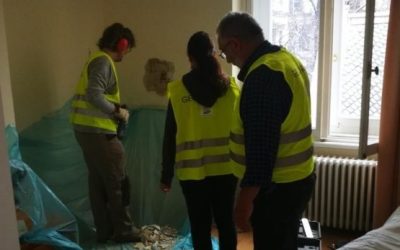
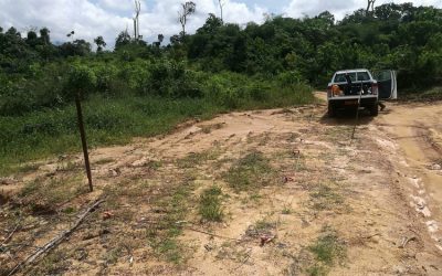
…Exploring and Understanding Earth…
Services
Geology
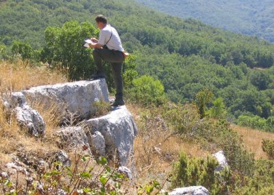
Geological, geomorphological and hydrogeological studies and surveys are a significant part of the activities that GEO Logica uses to understand environment …

Geophysics
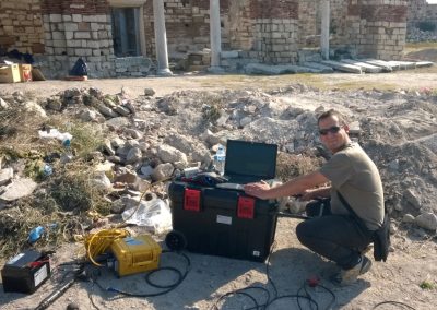
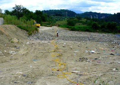
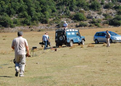
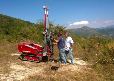
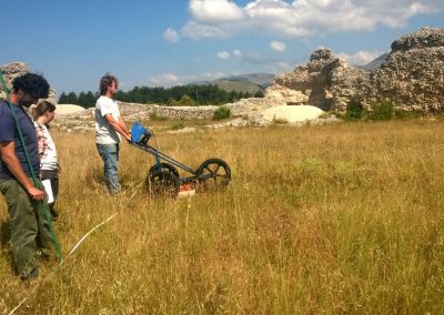
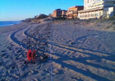
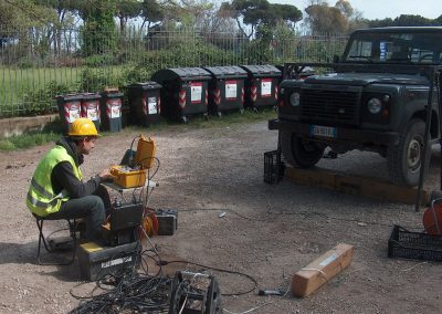
Seismic prevention in our territory is of crucial importance. GEO Logica provides a wide range of geophysical surveys, both on the surface and in borehole, with advanced instrumentation.

Geotechnical investigations
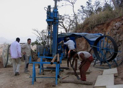
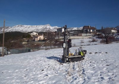
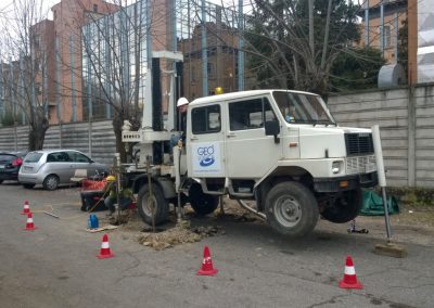
Geotechnical studies have always represented a fundamental phase in design. Our company intervenes in numerous aspects…

Geotechnical Laboratory
Geotechnical tests in the laboratory allow us to obtain parameters and physical-mechanical characteristics of soils and rocks, which represent necessary elements …

Structures

Environment
The management of the environment and the territory represents an unavoidable priority, the widespread hydrogeological instability in our …

Topography
Basic support for land planning and management is represented by topographical studies. Topography studies the tools and …

Remote sensing
Remote sensing (or Remote-Sensing) allows obtaining qualitative and quantitative information on any area of the Earth’s surface. Generally the …

Photogrammetry
Photogrammetry is a survey technique that allows you to acquire metric data of an object, such as shape and position through the acquisition and analysis of pairs of frames

Drones (RPAS)
Remotely piloted systems (RPAS), both fixed-wing and multi-rotor, allow photographic surveys in the visible, thermal or multi-spectral
…

GIS and Cartography
The management and integration of territorial, topographic, landscape and geological data via GIS software allows you to create digital cartography …
The company
GEO Logica Srl is a structure in which the technical tools and experiences of various professionals come together. The different professional paths and the consolidated collaboration with figures linked to the professional and academic world allow us toadequately manage the different specialized sectors of applied earth sciences. In particular we deal with surveys, prospecting and investigations aimed at engineering works, aerial photogrammetric surveys, mineral research, structural tests.
Scopes
Buildings
- Geognostic investigations and geological-technical surveys
- Geotechnical and geophysical characterization of soils
- Topographic and drone surveys
Environment & Territory
- Analysis of geological and hydrogeological risk
- Monitoring and measurement of environmental parameters
- Search for aquifers
Cultural heritage
- Geophysical surveys for archaeological research
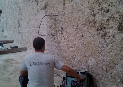
- Non-destructive tests on structures and masonries
- Photogrammetry and aerial photogrammetry
Mining research
- Geological and geophysical surveys for mining research
- Planning and monitoring of quarries
- Preliminary environmental studies
Work method
Cost
The cost of services is important, a fair price guarantees seriousness and honesty
Reliabiliy
Passion, competence and experience, equipment of high quality
Efficiency
Contracts managed effectively and on time
Latest News
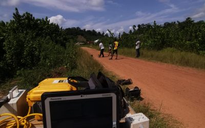
Republic of Ghana 2023
Geophysical investigation, section Dunkwa-Awaso “Consulting...
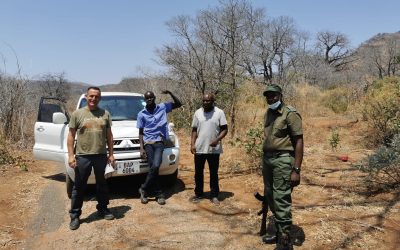
KINGDOM OF ESWATINI (2021)
Geotechnical in situ test, Geophysical survey and geological report for Infrastructures...
Republic of Zimbabwe 2022
ZAMBIA - ZIMBABWE REPUBLIC Feasibility, Preliminary and Detailed Engineering Design of the...
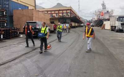
APAPA PORT, LAGOS, NIGERIA (2021)
Accelerometric and inclinometer remote monitoring of the cracks at dock, ENL terminal, Lagos port...
Structural surveys at the British Embassy in Vienna
In November 2018 our company had the honour to perform structural tests at the British Embassy in...
Republic of Cameroon: seismic and geophysical surveys for the Édéa-Campo and Douala-Idenau railway spurs
Our company performed preliminary geophysical surveys for the engineering design of two railway...

